As a land trust, ESLC is constantly measuring the value of the natural lands we protect. Conservation easements are scrutinized for agricultural productivity, waterway buffers, and endangered species habitat. We know how to evaluate and improve the value-per-acre of a farm or forest by measuring crop yields, water quality, buffer widths, and species biodiversity. But how do we evaluate and improve the value-per-acre of buildings, stores, factories, and towns?
As much as humans need farms, parks, forests, and wetlands, we also need homes, hospitals, schools, and firehouses. When these built environments become inefficient they can drain our local economies and sprawl into land that would otherwise be conserved for natural resources. By calculating the value-per-acre of developed land, we can make sure that “its land use is productive,” explains Strong Towns’ Daniel Herriges, “that is, that the activity taking place… is creating enough wealth to support the infrastructure and services needed for that place to continue to exist and thrive.”
We mean “value” in the most literal sense. How do property tax values contribute to the local budget and the ongoing maintenance of our communities and neighborhoods? To measure this value-per-acre (VPA) we look at a parcel’s assessed property value from the state of Maryland and divide it by how many acres the parcel encompasses. Last year, with the help of Urban3, ESLC gathered VPA data for eight counties on Maryland’s Eastern Shore. VPA reveals the value of all different types of developments, from big box stores to waterfront hotels to apartment buildings. By far, the Eastern Shore’s most valuable land use in the built environment is the historic downtown. These high-value areas are unique, full of character, and built to a human scale with mixed-use and walkable designs. Their compact layouts concentrate development, allowing the landscape outside the town’s limits to remain devoted to natural resources conservation, agriculture, public recreation. This is not news to Eastern Shore residents. We love our towns! And counties on the Eastern Shore show the highest rate of people living in towns compared to other Maryland counties with greater suburban sprawl. But it’s important not to take this unique feature of the Eastern Shore for granted.

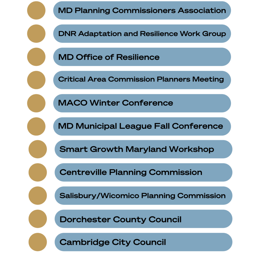
By equipping the Eastern Shore with this data, ESLC is helping towns and counties to preserve their unique character and grow in a sustainable and productive way, prioritizing both conservation and local economies. Since we first shared this research last year through workshop and direct outreach, it has positively informed the work of local leaders in communities across the Eastern Shore. ESLC has led three free workshops and two coffee hours to share this data with the community. Washington College is currently helping to refine the VPA GIS datasets to make all research accessible to the average person. Graphic Design students at Salisbury University are hard at work translating VPA findings into easy to understand visuals and infographics. And ESLC Director of Land Use & Policy Owen Bailey has presented the data to: